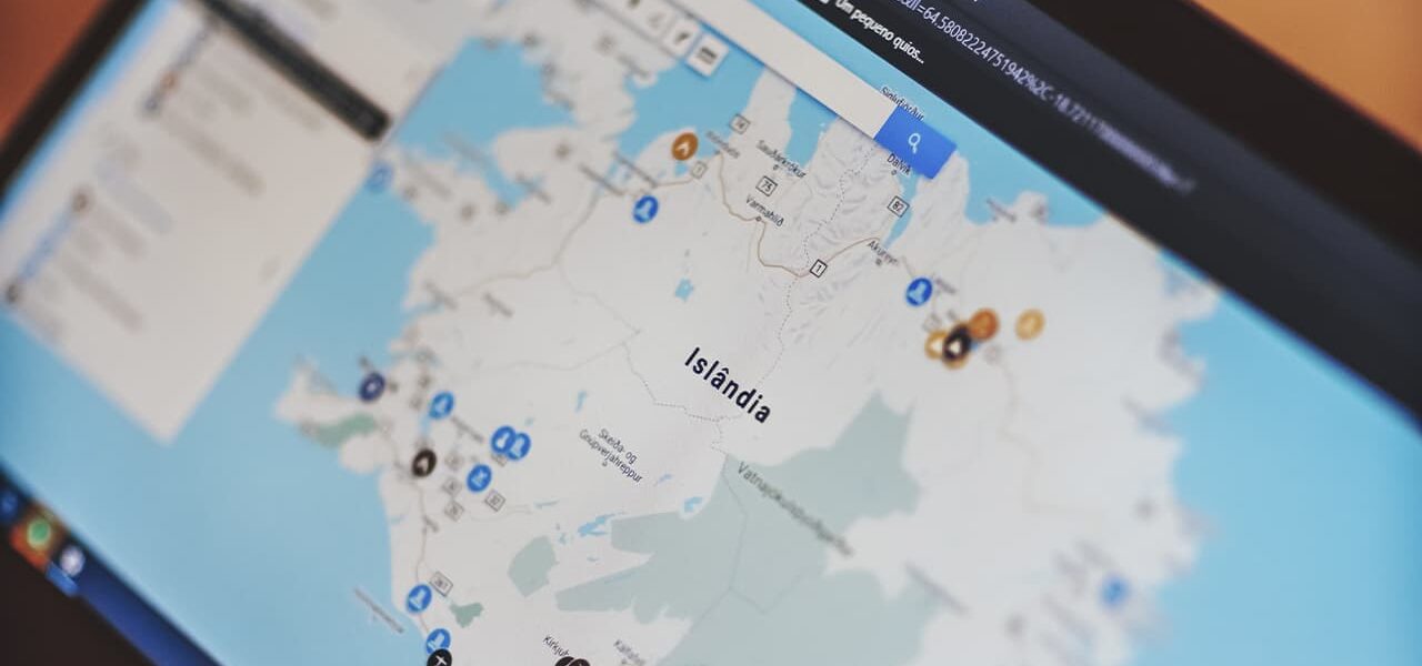
Nowadays, a very high level of automation prevails, and it is reflected in almost all spheres of human activity. Due to such relevance of technical progress digital cartography arose, which is a computer processing and analysis of cartographic information. At the moment it is digital cartography that is the most popular in its scientific field, because now the creation of any cartographic images is done exactly on the computer.
Digital cartography cannot be called a separate discipline or section. Rather, it is an effective tool that allows you to conveniently and quickly process cartographic data using a PC. However, the impact of digital cartography on science is really strong, and this way of mapping the terrain has fundamentally changed the principle of visualizing the territory.
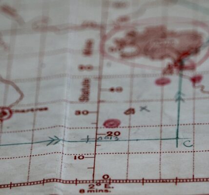
Let’s compare digital cartography with the old way of creating maps. In the old days, cartographers would spend days and nights at a map, drawing each element in ink. Such work was very tedious and the work was simply unreasonable. Nowadays, technology of map creation has changed considerably, and now a computer does all the routine work, and much faster. During the processing of cartographic information on the PC, special automated systems are used, which have a large functionality, consisting of the tools needed to create maps. Due to their flexibility, automated mapping systems give a lot of possibilities to modern cartographers, which really simplify and improve the process of illustrating the terrain.
Digital cartography has the following advantages over traditional cartography:
- The possibility of error is virtually eliminated. In the old days, cartographers had to do their best to describe a map as accurately as possible. Unfortunately, more often than not, cartographers failed to depict space, its dimensions and specifics correctly. In modern cartography such mistake is excluded, because a lot of complicated calculations are made by computer. This simplifies the cartographer’s work, makes it faster and more efficient;
- saving labor resources. If in the modern world cartographers did not use automation as they do now, one map would cost a fortune, because it would require an inconceivable amount of labor. Now, thanks to specially developed systems, creating a map is relatively easy, which affects their price;
- possibility of editing. If you have drawn a map, but the terrain has changed (the forest has been cut down, the river has dried up, etc.), your creation can be considered unusable, because it contains unreliable information. However, digital cartography supports the possibility of editing maps, which allows you to return them to their former relevance. What’s more, it again brings significant labor savings.
Digital cartography is a real breakthrough in geographical science because it allows us to depict the world as it really is.
The advantages of computer technologies are not only perfect quality of graphic works, but also high accuracy, significant increase in labor productivity, improvement of polygraphic quality of cartographic products.