Geodesy is one of the most important natural and technical sciences in the history of mankind. To correctly answer the question of what geodesy is, it is enough to analyze the main activities of scientists of this scientific direction. Geodesy studies the following hypotheses, theories, physical, production, technological processes concerning analytical, research aspects, as well as legal relations between people and legal entities in the use of the Earth’s surface for various purposes:
- Geometric parameters of the Earth, or parts of it, specifying dimensions, coordinate grids, positions of specific points in a three-dimensional coordinate system.
- Analysis of the relief of the Earth’s surface with determination of high-altitude coordinates.
- Studying and recording geodynamics, i.e., changes in the shape of the Earth’s crust over time to correct maps.
- Calculation of gravitational forces in different areas of the globe.
- Fixing coordinate systems report, height marks, from which is measured with the installation of reference points and relative coordinates.
- Creating, analyzing, correcting maps, atlases, using analytical ways of constructing a geodetic grid.
- Creation of coordinate systems for the convenience of conducting measurements of the earth’s crust.
- Conducting measurements of areas of the earth using various techniques.
- Analysis of results obtained as a result of measurements with their subsequent practical application for the creation of site plans, atlases, maps and other analytical products.
Thus, modern geodesy provides not only valuable reliable knowledge in the field of various parameters of the Earth, but is also used for applied purposes in the direction of territory boundaries for its further registration for the right holder.
Types of geodesic works
Geodesy is such a natural and technical science, which requires the mandatory performance of the following types of basic and auxiliary works:
- Preparatory work, which consists in analyzing the territory, determining the existing reference points, geodetic grids and coordinates for the possibility of surveying a specific plot or object with a georeferencing.
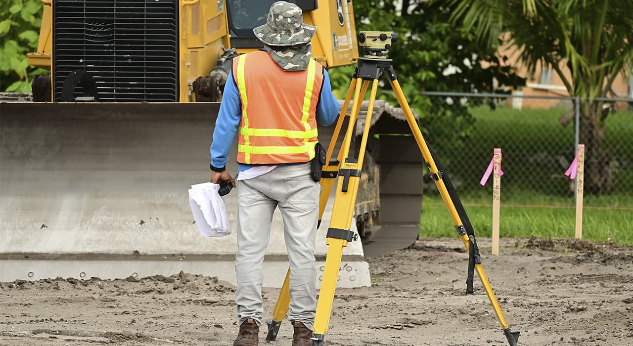
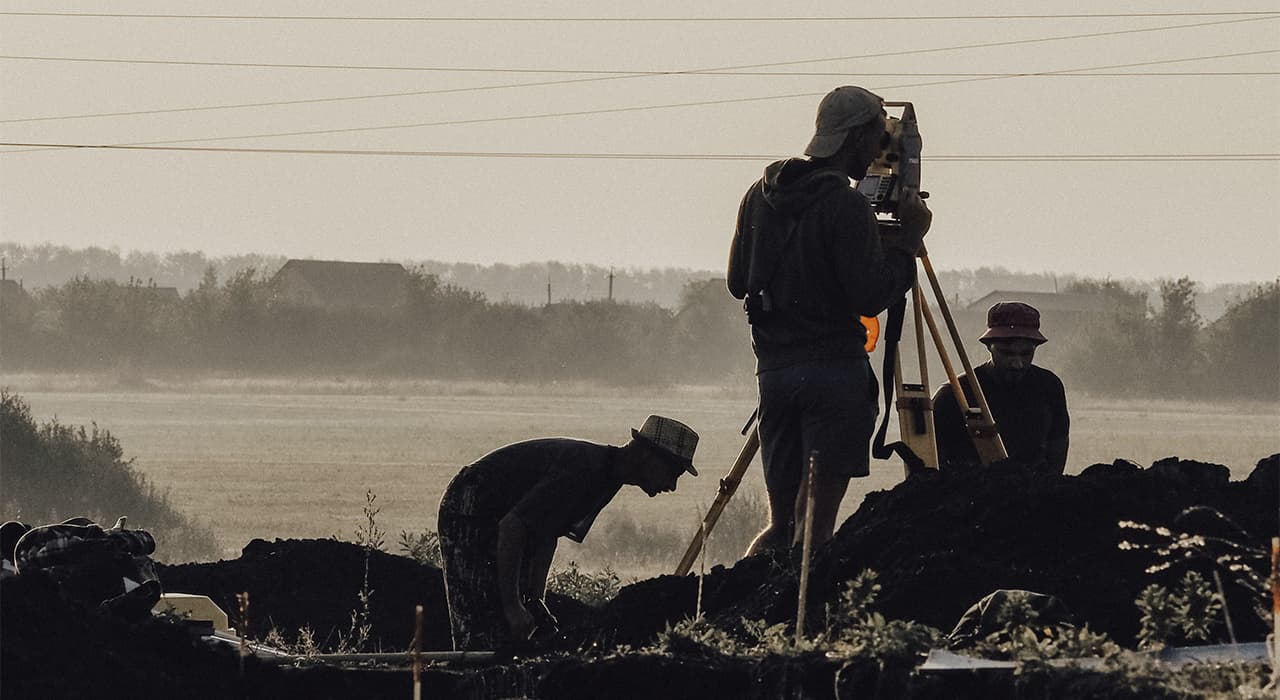
- Field work consisting in application of specialized professional equipment having a connection with GPS coordinates and characterized by a higher precision for determining coordinates or height marks with a view to georeferencing a specific object or checking the correctness of its location.
- Desk processing of the results of field work, which consist in transferring the coordinates and geometric parameters identified in the field into an electronic file, on paper, in order to create official documentation, or to provide designers, as a reference scheme for planting a building, development of drawings of landscaping, vertical layout, location of external utility networks, land surveying.
The final product of geodesy is an executive survey, map, master plan, or other types of graphic representation of the terrain, tied to the object of capital construction.