In a broad sense, the definition of geodesy can be interpreted as a combination of independent sciences, united by common principles and objectives. This combination consists of the following disciplines:
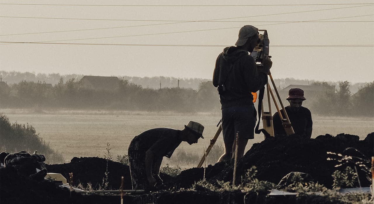
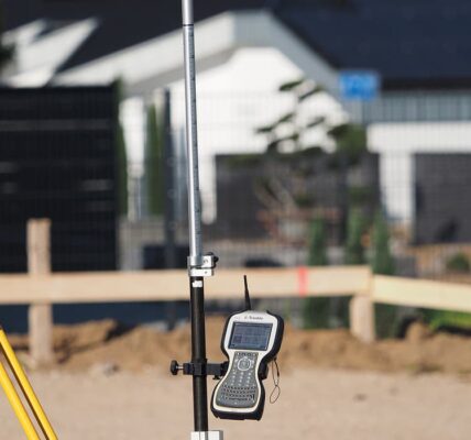
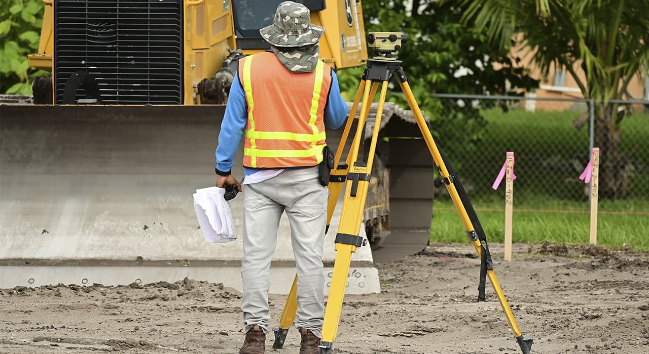
- The main geodesic disciplines is topography, that is, the determination of geographic coordinates and elevation of a specific area or point on the ground with the designation of this object on the plan.
- Higher geodesy is an independent science, which implies the application of elements of higher mathematics in order to describe the laws of gravity, changes in coordinate systems, kinematic and dynamic phenomena occurring on the planet.
- Engineering geodetic discipline – is applied for applied purposes in surveying a specific plot, terrain, for the purpose of drawing up cadastral documents, registering property rights, conducting land surveying, assigning easements and other legal actions.
- Cartography – from the definition it is clear that this applied science is engaged in drawing up plans of the area at different scales with the denotation of the territory boundaries, horizontals, elevation marks of relief and other important nuances, which allow to draw up an accurate map of the area, district, region or more extended territories.
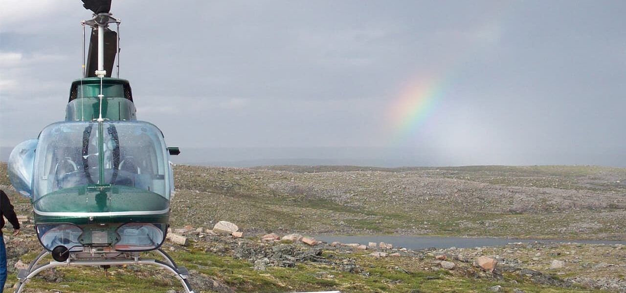
- Photogrammetry – a relatively modern branch of geodetic sciences, which implies the design of maps and plans of areas inaccessible to humans on photographs from satellites or other graphic materials derived from the results of photo fixation of the territory, objects located on the ground.
- Geodesic astronomy or space geodesy is also an independent discipline, which implies determination and registration of geographic coordinates by location and movement of celestial bodies in space, based on long-term observations of them.
- Auxiliary disciplines that are also separate divisions of geodesy are military, marine topography, gravimetry and some other less well-known scientific fields, distinguished by narrow specialization.
To accurately answer the question of what is geodesy, it is recommended to study all the maps and other executed surveys of different types of terrain, made by profile specialists. Each object in the studied territory, its coordinates, altitude marks, kinematic phenomena and other processes are described precisely in geodesy. Thus, without knowledge of geodesic disciplines, mankind still would not have had an accurate idea of the size of our planet, the features of the relief and other important facts.