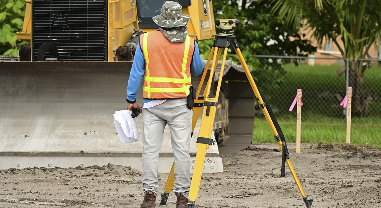
When performing geodetic works, it is necessary to use the following types of professional metrology equipment:
- Tachymeter – a universal device for determining the coordinates of a point in a three-dimensional system, which has a connection with a satellite using the GPS module.
- Theodolite – optical or electronic geodetic instrument used to identify directions and values of plane geodetic angles.
- Leveling instrument – a highly specialized instrument used to determine the difference between adjacent elevations.
- Rangefinder – laser metrology equipment for taking measurements between two points in order to identify the distance between them.
In order to make an official report, all of the above equipment must undergo periodic verification and, if necessary, calibration, which involves making accurate adjustments in relation to the readings of the reference device. Each officially operating geodetic organization provides copies of official verification certificates for each type of equipment used in the measurement process.
How the geodetic work is carried out
When a geodesist is called to an object, he performs the following stages of mandatory work that allow him to achieve the expected result:
- Analysis of old surveys.
- Determination of the scope of work.
- Binding to existing reference points.
- Visiting the site.
- Installing and calibrating instruments.
- Determining coordinates of the site.
- Determination of height marks.
- Bounding of existing object.
- Identification of point displacement in space, deflection and other types of plastic deformation.
- Determination of ground settlement, building roll and other disturbances.
- Analyzing irregularities and deviations from required parameters.
- Registration of coordinates in the three-dimensional system.
- Processing the results.
- Compilation of topographic survey, cartographic documentation.
- Drawing up official report, cadastral plan or other official documentation as required.
As a result of the above-mentioned works the geodesist draws up a report consisting of an explanatory note and graphic materials, which is an official document that can be used for presentation in various instances on demand.